BLOG • April 13, 2023
How 100 satellites transform the way we understand the world


Kuva Space is revolutionizing global hyperspectral services with gapless data collection and near real-time AI-powered services.
Satellite images are fast becoming mainstream, from news reporting to climate analysis. While current spaceborne images – free governmental and paid commercial satellite images – are powerful in conveying a story, there are apparent limitations. These images are often optical images, similar to those you can take with your camera (phone), giving a view of the change, but are ill-fitted to support further analysis.
Today we rely on spaceborne images taken on a weekly or monthly cycle. With growing uncertainties, we need daily or sub-daily monitoring of Earth to deliver timely information to decision-makers. Time-critical applications – wildfire mitigation, gas pipeline burst early detection, fast crop damage insurance repayment, and up-to-date yield information for food security management – are not something current satellite data/image providers can do at an affordable price, if at all. In addition, to uncover further details of a detected change, we need to collect more specific data, which is often an issue, if there are not enough satellites to work with.
So, what is the solution?
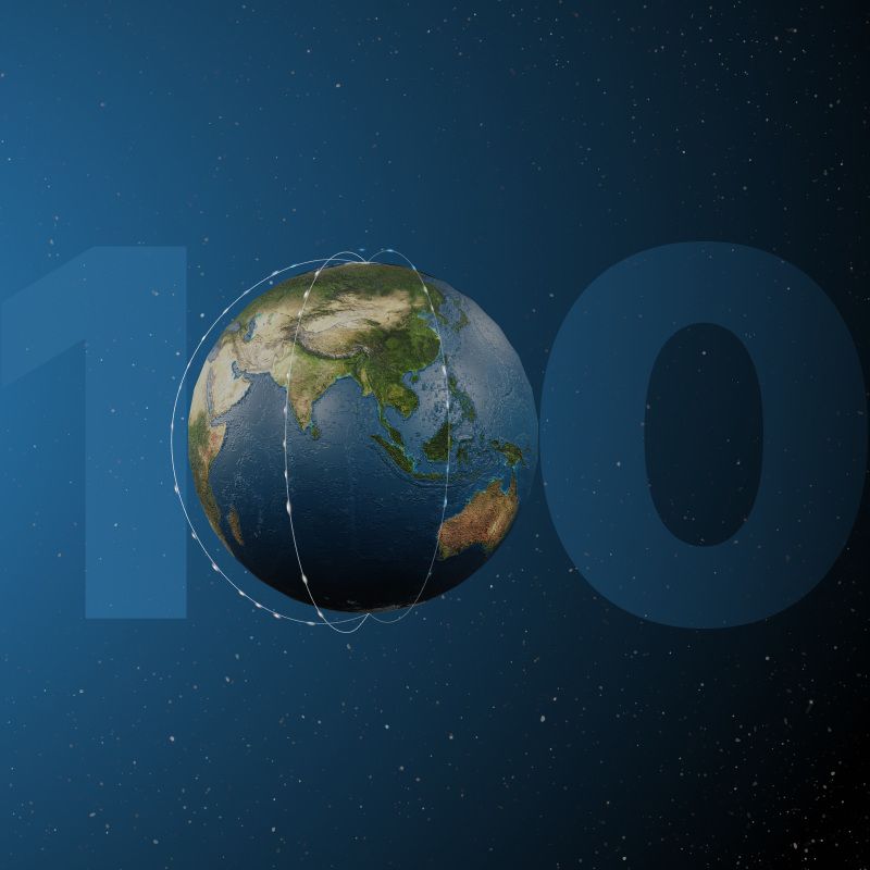
For Kuva Space, the answer is to build an AI-driven constellation with 100 hyperspectral satellites. This extensive constellation will help us achieve unprecedented global coverage and time resolution with AI.
While our target is to launch 100 satellites, it is important to highlight that our global services, such as yield forecasts, biodiversity mapping, and change detections, will roll out starting 2024, with six satellites in orbit. By 2030 with 100 satellites in orbit, we will fully realize our mission to enrich our customers with timely global insights.
Let’s look at how 100 satellites actually transform the current Earth observation scene.
Overcoming clouds with the highest coverage and time resolution
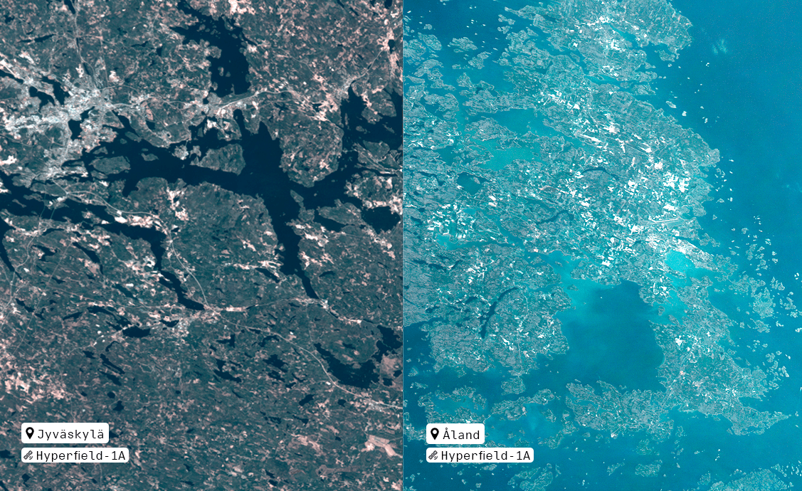
A single hyperspectral satellite can collect images constantly in sunlight if it has enough power and data storage – not a big challenge to overcome nowadays, even for the most compact satellite designs. Also, a single hyperspectral satellite collects data only in its orbital path with a swath (width) of a few tens of kilometers while the Earth rotates underneath. So, multiple tens of satellites are needed to collect gapless data over large areas with high time resolution, such as daily. Only with higher volumes of satellites can we cover more areas more frequently.
Why is this important, then?
One reason is the clouds – some areas around the globe tend to have high cloud coverage, especially at particular times of the year. We want to take advantage of the chance, by not having our satellite passing over the area, to catch the clear sky when we can collect the highest quality data possible.
Imagine having an overpass at weekly or less frequent intervals, and you experience three cloudy days on those days – you will lose one or two months of information, which can be more than half of a crop growth cycle. Daily measurement is a prerequisite for avoiding data gaps. Farmers, governments, and traders need timely information on expected yields and harvesting times.
Moreover, daily monitoring is only relevant in some instances. Continuous monitoring is necessary when dealing with disasters, irregular, and other sudden hard-to-predict events. These early warnings or alerts are critical for fast response actions which can ultimately save lives. With 100 satellites, we can deliver this type of valuable information as the events unfold.
Improved accuracy with continuous data collection
We achieve more accurate and reliable results with higher data volume. However, one of Earth observations biggest challenges is environmental and atmospheric disturbances, which are not often fully known or easy to correct.
While we have implemented AI-driven advanced correction algorithms in our data processing chain, continuous measurements over long periods will train our models to understand how to identify better and correct the disturbances automatically – ultimately resulting in improved service quality, delivery time, and accuracy.
More is more in any time series analysis. Let’s assume that one gets two to three measurements of crops during the entire growing season. With this level of measurement, it will be difficult to verify that the measurement results are accurate. And as a consequence, one will fall short in making early predictions on yields and estimating optimal harvesting times.
Understanding the root cause with optimized acquisition
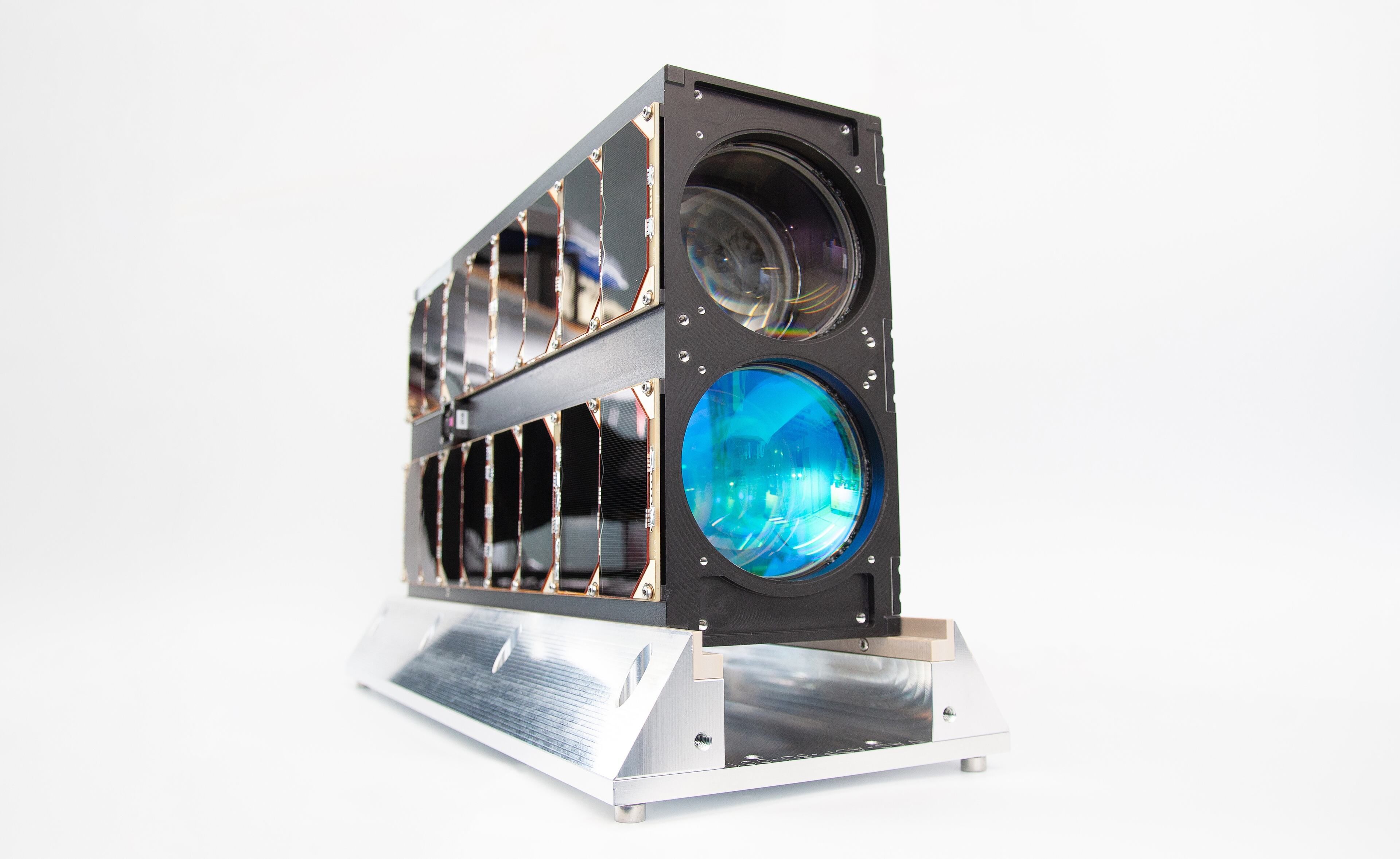
Optical imaging satellites can easily detect changes on the ground but not necessarily determine what has caused the change. With Kuva Space’s compact and cost-efficient satellites, we can collect scientific-grade data quality that identifies changes and reveals causality. We have a unique ability to use optimized acquisition features that allow us to select the wavelengths that matter for an application or a set of applications – or even keep staring at the target location to uncover the finest details and identify the root cause of the detected changes.
Imagine a farm area we are continuously monitoring. One day, we notice significant changes in the crop’s condition. To understand what has caused the change, we use our unique, optimized acquisition mode to collect crop health information. As soon as it confirms a pest outbreak, we adjust it to collect information about the type of pest. After identifying a species, we survey the entire area so that the farmers and the government will be alerted about the infected crops. This way, all affected areas can respond promptly to the alert, potentially preventing or minimizing crop losses. With the optimized acquisition feature, we can radically improve today’s spaceborne analysis and significantly impact food security.
The farm example is just one application among many we are working on. The ability to deliver deeper information is a significant leap forward in the Earth observation industry.
Our mission with the 100 satellites is to capture the highest quality data to deliver AI-driven insights globally at a competitive price. We are transforming the spaceborne services with our extensive fleet of compact satellites, unique imaging capabilities, and proprietary AI algorithms and models. As a result of our technological innovation, commercial and public institutions will be better equipped to address a wide range of challenges and opportunities facing our planet.
Resources


Press releases · September 9, 2024